Case study

Molonglo Special Purpose Reserve

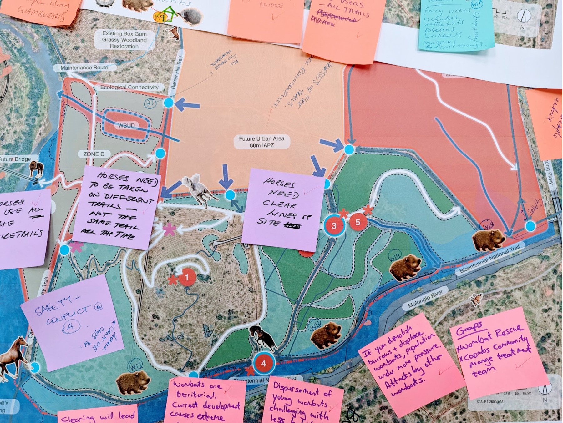
As part of the Spiire-led team, we engaged stakeholders on Wamburang, a new reserve within the Molonglo River Reserve. Our design workshop helped trail users and conservation groups map how they use the site, informing the Final Sketch Plans.
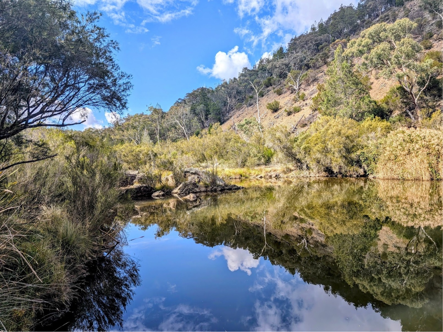
Bushland and hills reflected in a still stretch of the Molonglo River
Client
ACT Parks and Conservation Service, as part of the Spiire-led team
Location
Molonglo River Reserve, ACT
Services
Year
2025

Challenge

Wamburang, the Ngunnawal word for Yellow-tailed Black Cockatoo, is the second Special Purpose Reserve within the Molonglo River Reserve. Together with the Coombs Peninsula, it will protect habitat for threatened species while welcoming walkers, horse riders and mountain bikers. The planning supports ACT Government due diligence and Commonwealth obligations for Matters of National Environmental Significance. The engagement aimed to give the design team practical insight ahead of the Final Sketch Plans, all within a tight timeline.

A site map covered in sticky notes from the stakeholder design workshop

Our approach

A strong body of earlier findings already existed, particularly from Namarag, the first Special Purpose Reserve, so the ACT Government endorsed a targeted approach rather than broad community consultation. This honoured past input and avoided consultation fatigue. We ran two streams side by side. Our team engaged environmental and recreational stakeholders through online information sessions and a design workshop. We worked closely with First Nations sub-consultant, MurriMatters, who led culturally sensitive consultation with the Ngunnawal community.

At the workshop, equestrian, cycling, conservation and wildlife groups mapped how they use and value the site. Participants brought rich, site-specific knowledge, and our facilitation made room for it, letting the mapping conversation go deeper.

What we heard

Stakeholders value the site’s wildlife, from wombats and echidnas to platypus in the river. Trails are shared by horse riders and mountain bikers as well as walkers. They pinpointed areas for improvement, from erosion and muddy sections to spots where different users could come into conflict. Local families already gather there in large groups, and many want education and recreation to sit side by side.

Outcomes

The Listening Report brought both streams together into six community-informed recommendations for design and management. They included combining education with recreation, resolving shared trail use and embedding Ngunnawal protocols. The report gave the design team a clear evidence base to inform the Final Sketch Plans, grounded in what matters most to the people who use and care for the site.

Key numbers

2
online targeted stakeholder information sessions
11
stakeholders at the design workshop
2
engagement streams, including Ngunnawal consultation led by MurriMatters
6
community-informed recommendations
Contact

Get in touch

Have a project that needs clear communication, stakeholder understanding or community input? Please get in touch and we’ll talk through how we can support you.

Contact us →